Course Overview
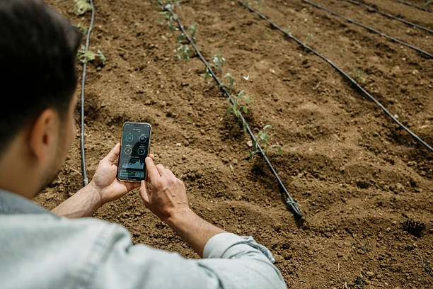
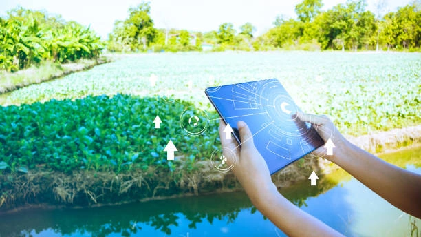
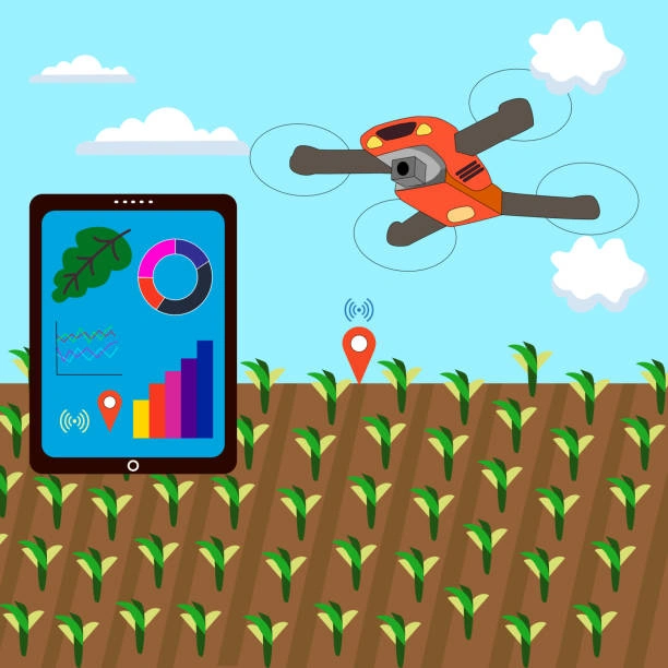
This 5-module course is designed to empower agricultural professionals, UAV operators, and agronomists with advanced knowledge and practical skills in drone-based crop health monitoring. Participants will learn how to utilize drone-mounted sensors to detect crop stress, monitor vegetation indices, and generate actionable insights to guide timely interventions. With hands-on techniques for flight planning, data capture, and image analysis, this training supports the adoption of precision agriculture to increase productivity and reduce input waste.
DURATION
5 Days
Target Audience
-
Agronomists and Crop Advisors
-
Drone Operators and Agri-Tech Firms
-
Precision Agriculture Specialists
-
Agricultural Researchers and Technicians
-
Farm Managers and Extension Workers
Course Level: Intermediate to Advanced
Learning Objectives
By the end of this course, participants will:
-
Understand drone sensor technologies for monitoring plant health
-
Analyze multispectral, thermal, and RGB imagery for early crop stress detection
-
Plan and execute UAV flight missions specific to crop health assessment
-
Interpret vegetation indices such as NDVI and NDRE for decision support
-
Integrate drone insights into farm management systems for timely intervention
COURSE OUTLINE
Module 1: Overview of Drone-Based Crop Health Monitoring
-
Importance of crop health diagnostics in modern farming
-
Types of drones and sensor payloads for vegetation monitoring
-
Benefits of drone technology over traditional scouting methods
-
Case Study: Drone-assisted pest and nutrient stress detection in maize
Module 2: Drone Sensors and Imaging Principles
-
RGB, multispectral, hyperspectral, and thermal sensors explained
-
Sensor selection based on crop type and growth stage
-
Imaging resolutions and calibration for accuracy
-
Activity: Comparing sample outputs from various sensor types
Module 3: UAV Mission Planning and Data Collection
-
Pre-flight planning: area mapping, altitude, overlap, and timing
-
Drone software for flight automation (e.g., DJI Terra, DroneDeploy)
-
Capturing consistent and actionable crop imagery
-
Field Exercise: Simulated drone flight for crop stress imaging
Module 4: Vegetation Index Analysis and Image Interpretation
-
Understanding NDVI, NDRE, SAVI, and other indices
-
Creating crop health maps and identifying zones of concern
-
Software tools for image processing and diagnostics (Pix4D, QGIS)
-
Group Exercise: Mapping crop health using sample multispectral datasets
Module 5: Farm-Level Decision Support and Integration
-
Linking drone data to irrigation, fertilization, and pest control decisions
-
Integrating with farm management systems and variable-rate technology
-
Reporting and visualizing crop health data for stakeholders
-
Final Project: Creating a crop health monitoring plan for a target farm
Customized Training
This training can be tailored to your institution needs and delivered at a location of your choice upon request.
Requirements
Participants need to be proficient in English.
Training Fee
The fee covers tuition, training materials, refreshments, lunch, and study visits. Participants are responsible for their own travel, visa, insurance, and personal expenses.
Certification
A certificate from Ideal Workplace Solutions is awarded upon successful completion.
Accommodation
Accommodation can be arranged upon request. Contact via email for reservations.
Payment
Payment should be made before the training starts, with proof of payment sent to outreach@idealworkplacesolutions.org.
For further inquiries, please contact us on details below: