GIS & Remote Sensing Short Courses
Are you ready to harness the potential of geospatial technology, analyze data with precision, and transform insights into actionable solutions?
Our GIS and remote sensing courses will build you to master cutting-edge tools, enhance your technical skills, and excel in spatial analysis.
Whether you are looking for Esri training, ArcGIS training, GIS fundamentals training, or remote sensing software training, we have the expertise to guide you every step of the way.
Explore advanced topics like Google Earth Engine training, remote...
Show More
 5 Days
Training on Geospatial Data Analysis with R
Master geospatial data analysis with R. Learn to analyze spatial data, create maps, and extract v...
 5 Days
Training on Remote Sensing for Forest Monitoring
Master remote sensing for forest monitoring. Learn to monitor deforestation, assess forest health...
 5 Days
Training on GIS for Health and Disease Mapping
Master GIS for health and disease mapping. Learn to visualize disease outbreaks, identify risk fa...
 5 Days
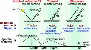
Training on Advanced Remote Sensing Techniques
Master advanced remote sensing techniques. Learn to analyze high-resolution imagery, extract deta...
 5 Days
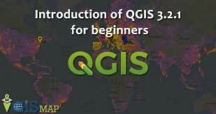
Training on Introduction to QGIS
Learn QGIS, GIS software, geospatial analysis, map making, and spatial data. Unlock the power of...
 5 Days
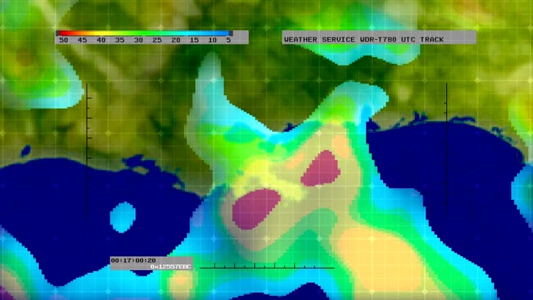
Training on Remote Sensing for Climate Change Monitoring
Master remote sensing for climate change monitoring. Learn to analyze satellite imagery to monito...
 5 Days
Training on Web GIS Development and Implementation
Master web GIS development and implementation. Learn to create interactive web maps, build web-ba...
 5 Days
Training on GIS for Natural Resource Management
Master GIS for natural resource management. Learn to analyze and manage natural resources, monito...
 5 Days
Training on Remote Sensing for Disaster Management
Master remote sensing for disaster management. Learn to monitor disaster events, assess damage, a...
 5 Days
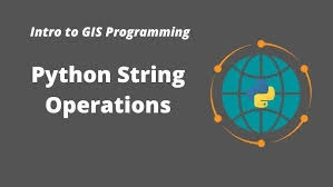
Training on Introduction to Python for GIS
Master Python for GIS and unlock the power of geospatial data. Learn to automate GIS tasks, analy...
 5 Days
Training on Spatial Data Collection and Management
Master spatial data collection and management. Learn to collect, store, and manage geographic dat...
 5 Days
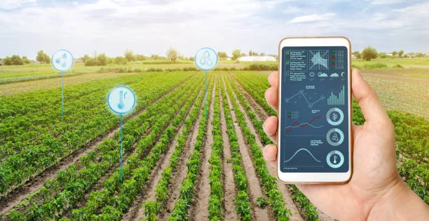
Training on Remote Sensing Applications in Agriculture
Master remote sensing applications in agriculture. Learn to monitor crop health, assess yield pot...
 5 Days
Training on GIS for Urban Planning and Development
Master GIS for urban planning and development. Learn to analyze urban patterns, assess infrastruc...
 5 Days
Training on Geospatial Data Visualization and Mapping
Master geospatial data visualization and mapping. Learn to create visually appealing and informat...
 5 Days
Training on Advanced Spatial Analysis with GIS
Master advanced spatial analysis with GIS. Learn to conduct complex spatial analyses, model spati...
 5 Days
Training on Fundamentals of Remote Sensing
Master GIS fundamentals and unlock the power of geographic information. Learn to visualize, analy...
 5 Days
Training on Introduction to Geographic Information Systems (GIS)
Master the fundamentals of Geographic Information Systems (GIS). Learn to visualize, analyze, and...
 5 Days
Training on GIS for Water Resource Management
Master GIS for water resource management. Learn to analyze hydrological data, model water flow, a...
 5 Days
Training on Remote Sensing for Coastal and Marine Environments
Master remote sensing for coastal and marine environments. Learn to monitor coastal erosion, asse...
 5 Days
Training on Cartography and Map Design using GIS
Master cartography and map design using GIS. Learn to create visually appealing and informative m...