Course Overview
This course provides a comprehensive introduction to remote sensing, exploring the principles, technologies, and applications of this powerful tool in observing and analyzing the Earth's surface. Participants will gain a solid understanding of how remote sensing data is captured, processed, and interpreted, along with practical insights into its diverse applications in fields such as environmental monitoring, agriculture, urban planning, and disaster management. The course combines theoretical knowledge with hands-on exercises to equip participants with the foundational skills needed to work with remote sensing data.
Course Duration
5 Days
Who Should Attend
- Environmental scientists and professionals
- GIS analysts and specialists
- Urban planners and geographers
- Agriculture and forestry professionals
- Students and researchers interested in remote sensing technologies
- Professionals in disaster management and emergency response
Course Objectives
By the end of this course, participants will be able to:
- Understand the basic principles and concepts of remote sensing.
- Identify and describe different types of remote sensing systems and sensors.
- Process and analyze remote sensing data for various applications.
- Interpret and apply remote sensing data in real-world scenarios.
- Explore the current trends and future developments in remote sensing technologies.
Course Outline:
Module 1: Introduction to Remote Sensing
- Overview of remote sensing concepts
- History and evolution of remote sensing technologies
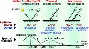
- Electromagnetic spectrum and energy interactions with the Earth’s surface
- Types of remote sensing (active vs. passive)
Module 2: Remote Sensing Systems and Sensors
- Overview of satellite and airborne remote sensing platforms
- Sensor types and their characteristics (optical, radar, thermal, etc.)
- Resolution concepts: spatial, spectral, radiometric, and temporal
- Key remote sensing missions and their applications
Module 3: Data Acquisition and Preprocessing
- Remote sensing data sources and formats
- Techniques for data acquisition
- Image preprocessing: radiometric and geometric corrections
- Introduction to software tools for remote sensing data processing
Module 4: Image Analysis and Interpretation
- Fundamentals of image classification and pattern recognition
- Techniques for visual interpretation of remote sensing images
- Digital image processing: filtering, enhancement, and transformation
- Case studies on land use/land cover mapping, vegetation analysis, and more
Module 5: Applications of Remote Sensing
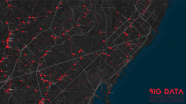
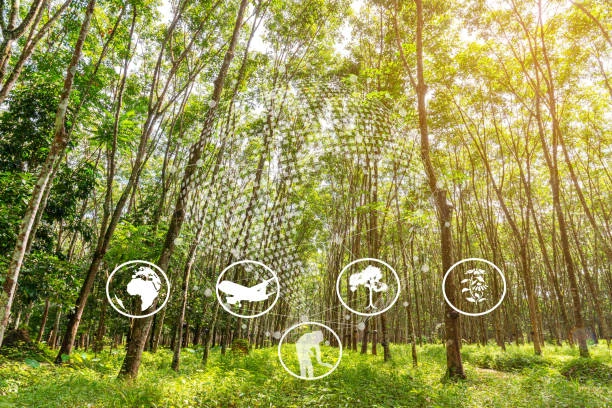
- Applications in environmental monitoring and natural resource management
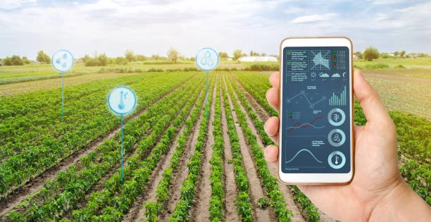
- Remote sensing in agriculture: crop monitoring and precision farming
- Urban planning and infrastructure development
- Remote sensing in disaster management: flood, fire, and earthquake monitoring
- Future trends and emerging technologies in remote sensing
Customized Training
This training can be tailored to your institution needs and delivered at a location of your choice upon request.
Requirements
Participants need to be proficient in English.
Training Fee
The fee covers tuition, training materials, refreshments, lunch, and study visits. Participants are responsible for their own travel, visa, insurance, and personal expenses.
Certification
A certificate from Ideal Workplace Solutions is awarded upon successful completion.
Accommodation
Accommodation can be arranged upon request. Contact via email for reservations.
Payment
Payment should be made before the training starts, with proof of payment sent to outreach@idealworkplacesolutions.org.
For further inquiries, please contact us on details below: