Course Overview
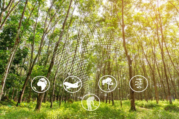
This course provides a comprehensive understanding of how remote sensing technologies can be applied to biodiversity conservation efforts. Participants will learn about various remote sensing techniques, data types, and analytical methods that are crucial for monitoring and managing biodiversity at different spatial and temporal scales. The course emphasizes practical skills in using satellite imagery, aerial photography, and drone-based data to assess and conserve biodiversity in diverse ecosystems. Participants will engage in hands-on activities and case studies that illustrate the integration of remote sensing into conservation planning and decision-making processes.
Course Duration
10 Days
Who Should Attend
- Conservation biologists and ecologists
- Environmental scientists and researchers
- GIS and remote sensing professionals
- Natural resource managers
- Wildlife managers and park rangers
- NGO staff working in environmental conservation
- Graduate students in environmental science, ecology, or related fields
- Government agencies involved in biodiversity monitoring and management
Course Objectives
By the end of this course, participants will be able to:
- Understand the fundamental principles of remote sensing and its applications in biodiversity conservation.
- Identify and acquire appropriate remote sensing data for biodiversity studies.
- Analyze satellite and drone imagery to monitor habitat changes and species distribution.
- Integrate remote sensing data with GIS for spatial analysis and conservation planning.
- Apply remote sensing techniques to assess ecosystem health and detect environmental changes.
- Utilize remote sensing tools to support conservation decision-making and policy formulation.
- Evaluate the effectiveness of remote sensing in tracking biodiversity indicators and targets.
- Implement case studies showcasing remote sensing applications in real-world conservation projects.
- Communicate findings from remote sensing analyses to stakeholders and policymakers.
- Develop strategies for advancing the use of remote sensing in biodiversity conservation initiatives.
Course Outline:
Module 1: Introduction to Remote Sensing
- Fundamentals of remote sensing
- Types of remote sensing platforms (satellites, aircraft, drones)
- Electromagnetic spectrum and image acquisition
- Digital image processing basics
Module 2: Remote Sensing Data Acquisition and Preprocessing
- Data sources and selection
- Image preprocessing techniques (radiometric correction, atmospheric correction, geometric correction)
- Image formats and software
Module 3: Image Interpretation and Analysis
- Visual interpretation techniques
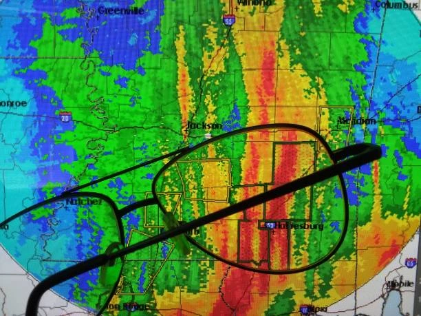
- Digital image analysis methods (image classification, segmentation, change detection)
- Object-based image analysis (OBIA)
Module 4: Remote Sensing for Habitat Assessment
- Habitat mapping and classification
- Land cover and land use change analysis
- Vegetation indices and health assessment
Module 5: Remote Sensing for Species Distribution Modeling
- Species distribution modeling approaches
- Incorporating remote sensing data into species distribution models
- Habitat suitability analysis
Module 6: Remote Sensing for Biodiversity Monitoring
- Biodiversity indicators and metrics
- Long-term biodiversity monitoring using remote sensing
- Assessing the impact of human activities on biodiversity
Module 7: Remote Sensing for Conservation Planning
- Protected area monitoring and management
- Habitat restoration and conservation planning
- Ecosystem services assessment
Module 8: Advanced Remote Sensing Techniques
- Hyperspectral imaging
- Lidar (Light Detection and Ranging)
- Radar remote sensing
Module 9: Remote Sensing and Citizen Science
- Engaging citizen scientists in data collection and analysis
- Crowd-sourced biodiversity monitoring using mobile devices and remote sensing
Module 10: Case Studies in Remote Sensing for Biodiversity Conservation
- Real-world examples of remote sensing applications
- Challenges and opportunities in biodiversity conservation using remote sensing
Customized Training
This training can be tailored to your institution needs and delivered at a location of your choice upon request.
Requirements
Participants need to be proficient in English.
Training Fee
The fee covers tuition, training materials, refreshments, lunch, and study visits. Participants are responsible for their own travel, visa, insurance, and personal expenses.
Certification
A certificate from Ideal Workplace Solutions is awarded upon successful completion.
Accommodation
Accommodation can be arranged upon request. Contact via email for reservations.
Payment
Payment should be made before the training starts, with proof of payment sent to outreach@idealworkplacesolutions.org.
For further inquiries, please contact us on details below: