Course Overview
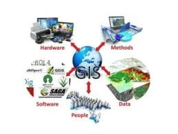
This course provides an in-depth understanding of GIS mapping, visualization, and analysis using QGIS, an open-source Geographic Information System (GIS) software. Participants will learn how to create, edit, visualize, and analyze geospatial data. The course covers fundamental concepts of GIS, spatial data handling, cartography, and spatial analysis techniques, with practical applications in various fields such as urban planning, environmental management, and public health. This course structure provides a comprehensive learning experience, equipping participants with the necessary skills to proficiently use QGIS for various GIS applications.
Course Duration
5 Days
Who Should Attend
- GIS professionals and practitioners seeking to enhance their skills in QGIS.
- Environmental scientists and researchers using GIS for spatial analysis.
- Urban and regional planners involved in mapping and spatial data analysis.
- Public health officials and epidemiologists working with spatial data.
- Students and academics in geography, geology, environmental science, and related fields.
- Anyone interested in learning GIS mapping and analysis using QGIS.
Course Objectives
By the end of this course, participants will be able to:
- To introduce participants to the fundamental concepts and functionalities of QGIS.
- To provide hands-on experience in creating and managing spatial data.
- To teach participants how to perform spatial analysis and generate insightful maps.
- To enable participants to apply GIS techniques to real-world problems in various domains.
- To enhance the ability to communicate spatial information effectively through visualization.
Course Outline:
Module 1: Introduction to GIS and QGIS
- Overview of GIS concepts
- Introduction to QGIS interface and features
- Setting up QGIS for the first time
Module 2: Spatial Data Management
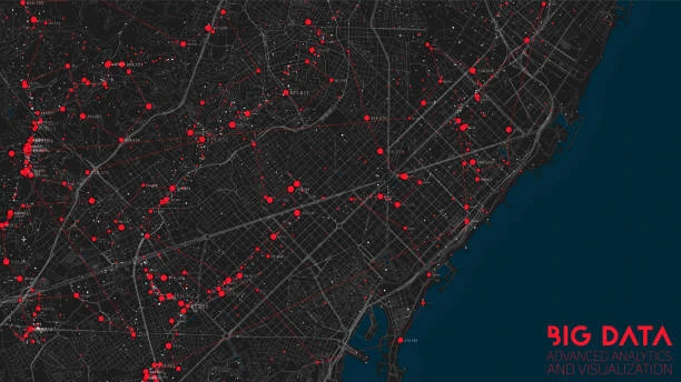
- Types of spatial data (vector and raster)
- Importing and exporting spatial data
- Data sources and data acquisition
Module 3: Creating and Editing Spatial Data
- Digitizing vector data
- Editing and updating spatial features
- Georeferencing raster images
Module 4: Cartography and Map Design
- Principles of cartography
- Creating thematic maps
- Styling and symbolizing spatial data
- Designing map layouts
Module 5: Spatial Analysis Techniques
- Vector analysis (buffer, overlay, and spatial join)
- Raster analysis (map algebra, reclassification)
- Network analysis and routing
- Spatial statistics and hot spot analysis
Module 6: Advanced Visualization Techniques
- 3D visualization of spatial data
- Creating interactive web maps
- Using plugins for extended functionalities
Module 7: Applications of QGIS in Various Fields
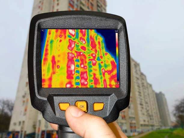
- Environmental impact assessments
- Public health and epidemiology mapping
- Natural resource management
Module 8: Project Work and Practical Exercises
- Hands-on projects to apply learned skills
- Real-world problem-solving using QGIS
- Presenting and interpreting spatial analysis results
Customized Training
This training can be tailored to your institution needs and delivered at a location of your choice upon request.
Requirements
Participants need to be proficient in English.
Training Fee
The fee covers tuition, training materials, refreshments, lunch, and study visits. Participants are responsible for their own travel, visa, insurance, and personal expenses.
Certification
A certificate from Ideal Workplace Solutions is awarded upon successful completion.
Accommodation
Accommodation can be arranged upon request. Contact via email for reservations.
Payment
Payment should be made before the training starts, with proof of payment sent to [email protected].
For further inquiries, please contact us on details below: